

|
|

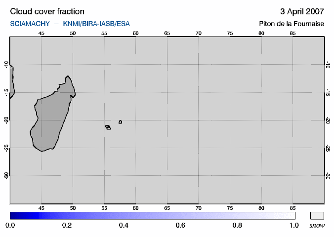
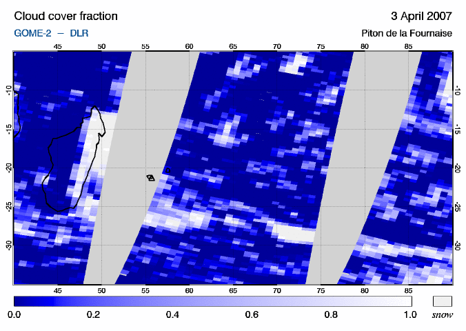
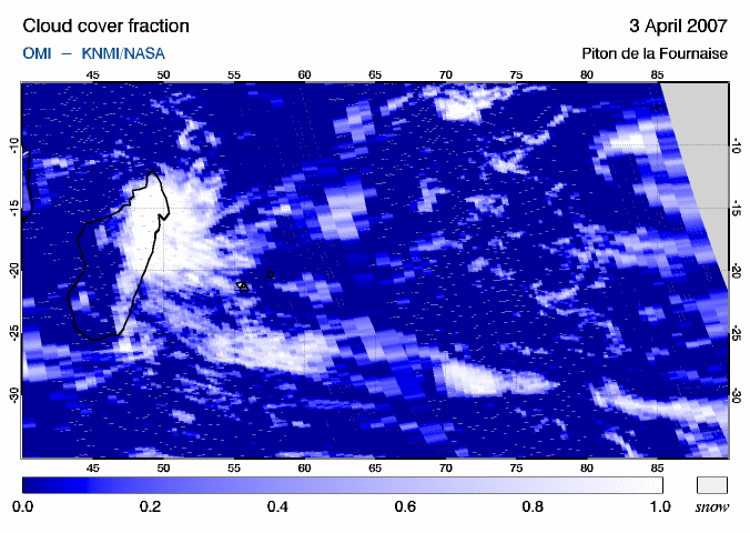
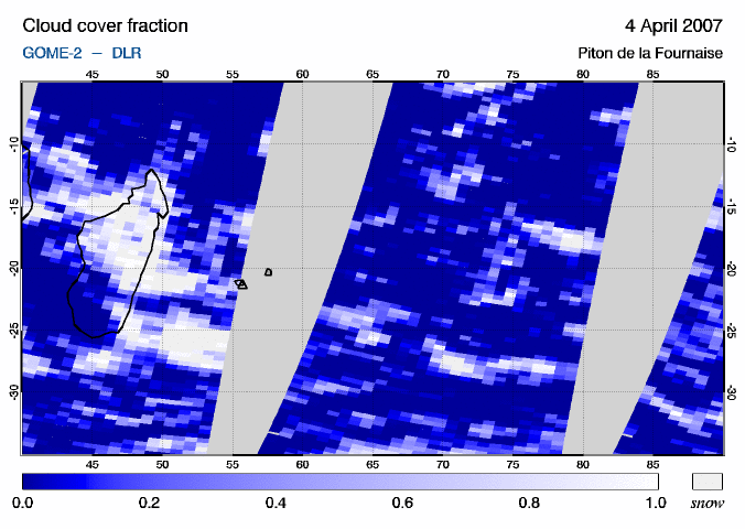
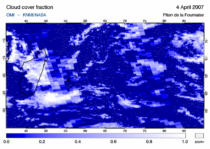
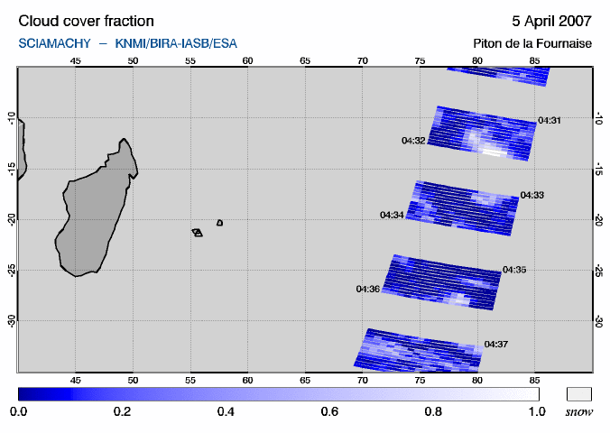
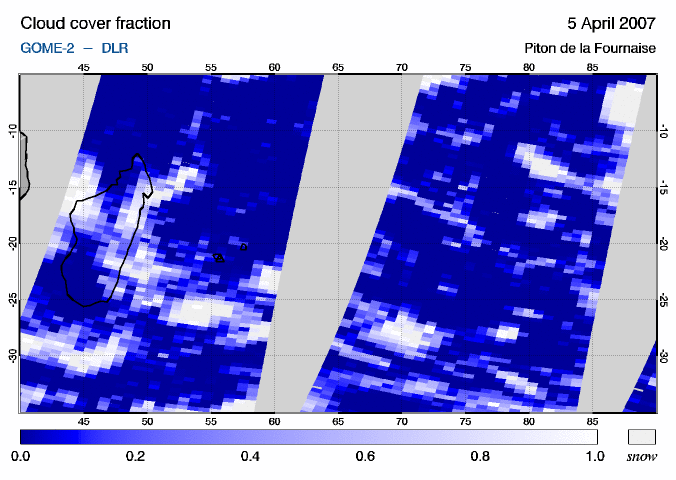
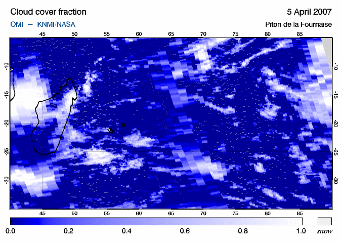
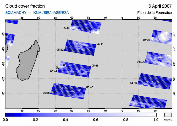
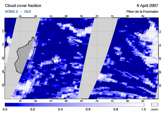
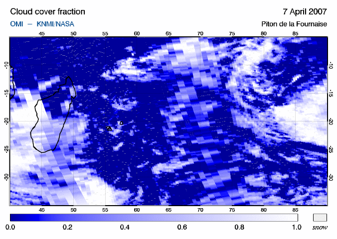
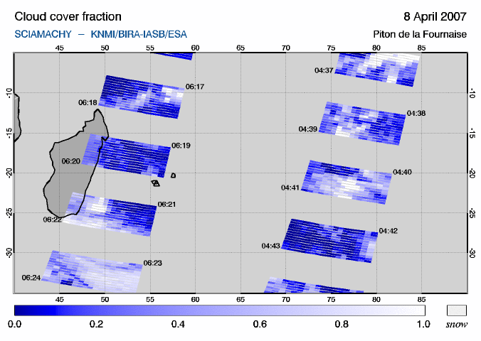
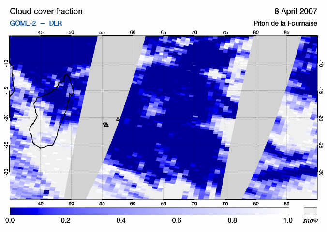
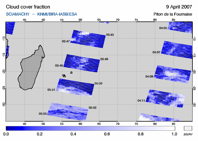
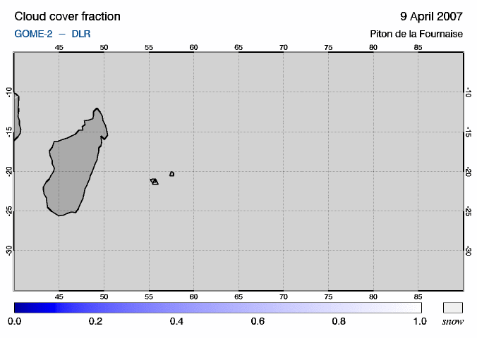
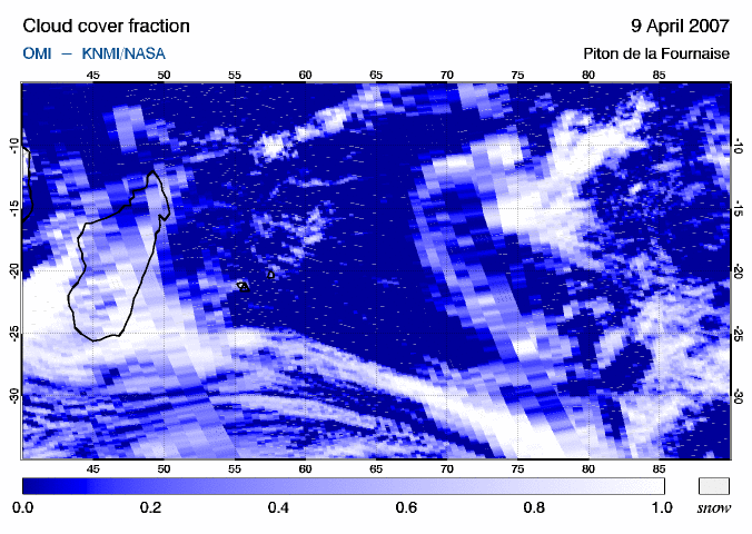
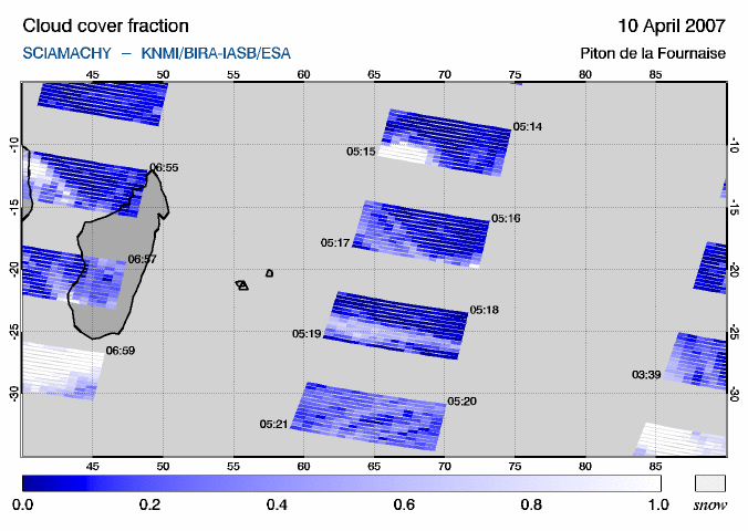
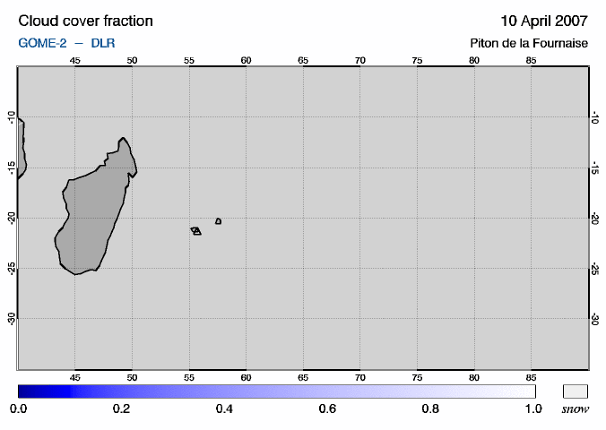
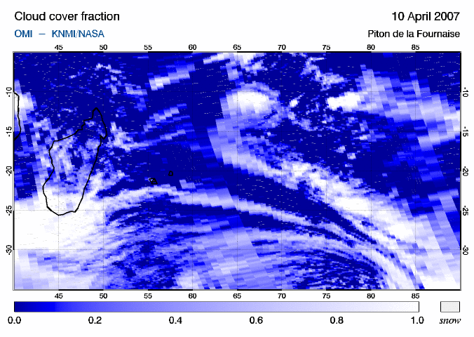
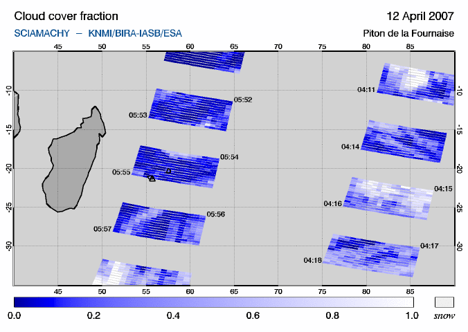
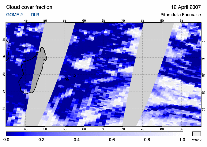
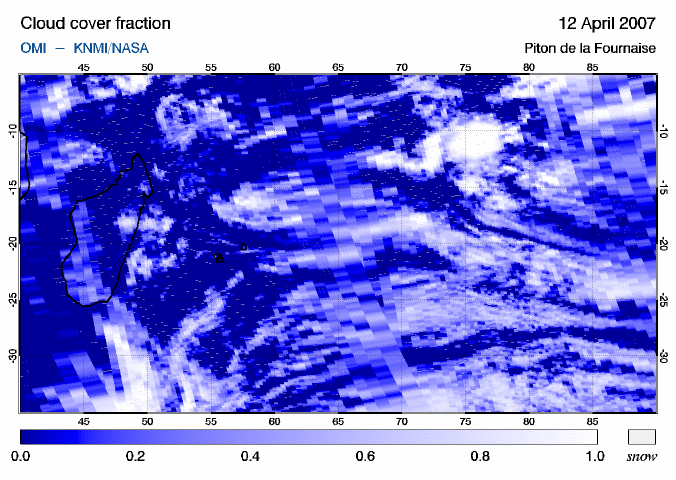
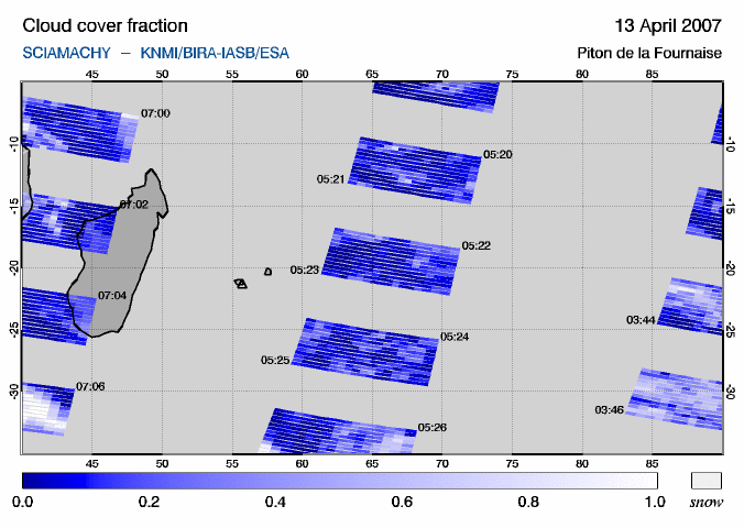
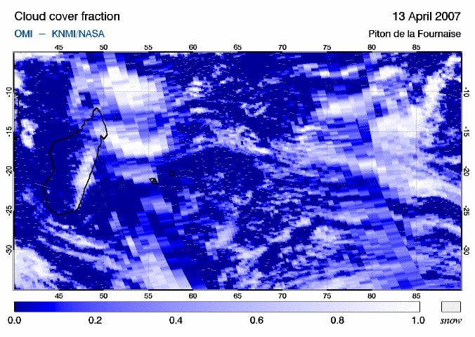
During this eruption satellite measurements show that large amounts of SO2 were released into the atmosphere and that this SO2 was transported both eastward and westward of Réunion Island, which is located in the default region 408. For the days 6-11 April the SO2 concentrations detected by SCIAMACHY satisfied the criteria for "SO2 event" alerts. Below images of the SO2 vertical column (VCD) are given for a 50 by 30 degree region covering the area where SO2 peak values between 5 and 11 April are found, based on measurements from the three satellite instruments available: SCIAMACHY, GOME-2 and OMI. The location of Piton de la Fournaise is indicated by an open triangle on the maps. Below each SO2 map, there is a link to the corresponding cloud cover map. Due to its poor geographic coverage, SCIAMACHY misses most of the SO2 plume. Unfortunately data is missing for both SCIAMACHY and GOME-2 on several days.
Web links More information on the eruption of Piton de la Fournaise and the volcano in general can be found here: |
||||||||||||||||||||||||||||||||||||||||||||||||||||||||||||||||||||||||


