|
|
Introduction to the ServiceVolcanic eruptions may eject large amounts of ash (aerosols) and trace gases such as sulphur dioxide (SO2) into the atmosphere. These ejecta can have considerable impact on the safety of air traffic and on human health. Ground-based monitoring is carried out at only a limited number of volcanoes: most volcanoes are not monitored on a regular basis, in particular the remotely located volcanoes.
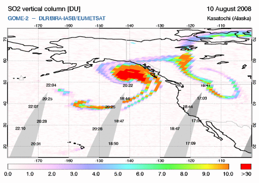
Global observations of SO2 and aerosols derived from satellite measurements in near-real time may therefore provide useful complementary information to assess the possible impact of volcanic eruptions on air traffic control and public safety. The Support to Aviation Control Service (SACS) focuses on the timely delivery of SO2 data derived from different satellite instruments, measuring in the UV/Visible (GOME-2, SCIAMACHY and OMI) and the InfraRed (IASI and AIRS) on board of polar-orbiting satellites. Since most volcanic eruptions emit both SO2 and ash, the precence of SO2 can serve as a marker for volcanic ash clouds, at least in the first few days after an eruption. The Service thus allows for monitoring the occurrence, extension and motion of volcanic plumes. On the basis of selection criteria of exceptional SO2 concentrations, the Service issues a notification by e-mail to interested parties, with a reference to a dedicated page at the website with the SO2 map of the event and (links to) further information on the event. Though SACS is primarily aimed at supporting the Volcanic Ash Advisory Centres (VAACs) in their tasks. These centres are the official organisations responsible for gathering information on volcanic clouds. Anyone interested can subscribe to the email notification service of SACS.
SACS will link its service to other ongoing activities in this area, notably
the Support to Aviation for Volcanic Ash Avoidance (SAVAA) project,
which will provide backward and foreward trajectories of the volcanic plume.
These trajectories will facilitate the interpretation of the satellite
observations, will provide an indication of the location of the source of
the SO2 and of the height of the plume, and will forecast the motion of
the volcanic plume.
Service project historyInitial parts of SACS were set up under the TEMIS project (2002-2009). The Service became really operational duing the PROMOTE Stage II project (2006-2009), and is continued after that as project in itself (2009-2012), with close links to the SAVAA project (2008-2011). All these projects are financially supported by the European Space Agency. |

